Exhibit on RiverLink: Asheville-Based Activism in the French Broad Watershed

The month of October is considered Archives Month across the nation and the theme for the upcoming year is Activism and Social Justice in North Carolina. The purpose of Archives month is to raise awareness in the Archives and what better way to do so than to spotlight Archival collections that illustrate a passion for local activism. Our Special Collections and Archives staff are members of the Society of American Archivists, as well as the Society of North Carolina Archivists, and we are excited to participate in Archives month as well.

Beginning stages of the RiverLink Exhibit in UNC Asheville’s Special Collections Reading Room for Archives month.

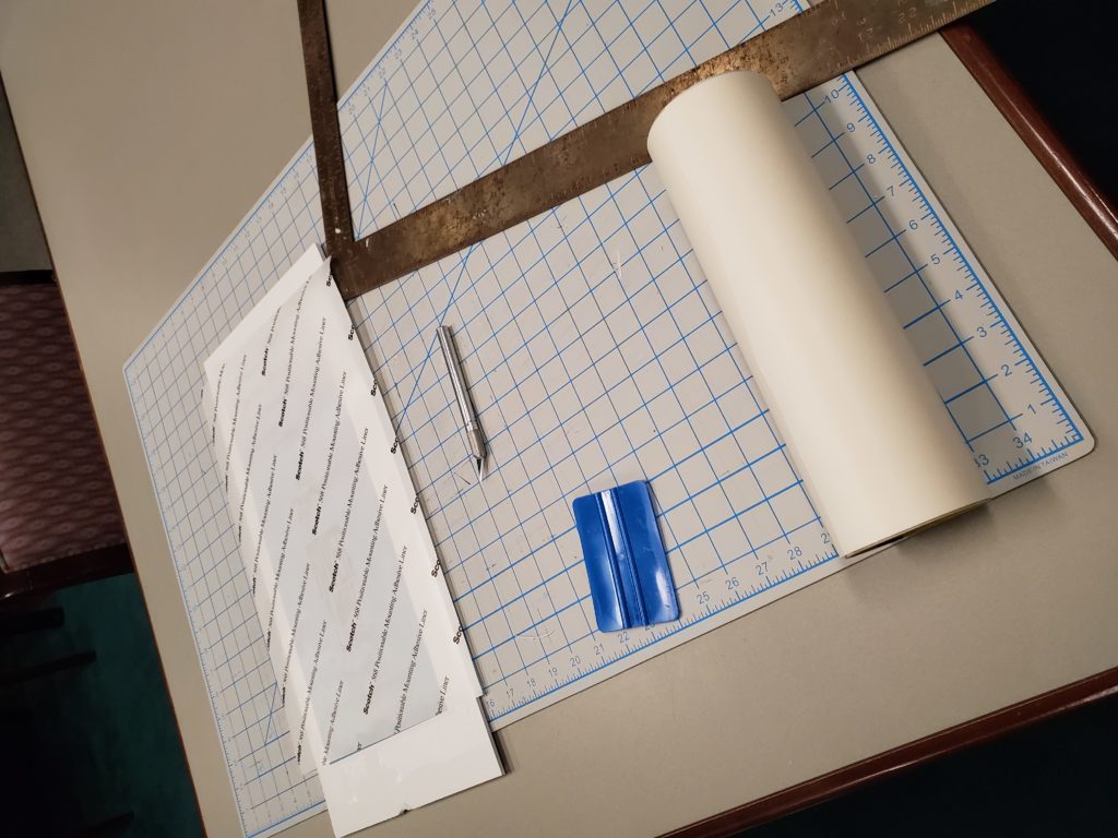
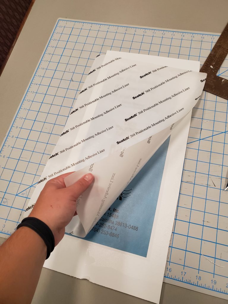
On that note, UNC Asheville’s Special Collections received a collection from RiverLink in 2017, and in 2018 the collection was processed by both staff members and interns. The collection has an online finding aid and is available for researchers to use. Special Collections will also be receiving additional material from RiverLink, which we will add to the collection soon. And since it is Archives month and this collection is an excellent example of a local activism group, let’s take a closer look at RiverLink and the new exhibit we just installed regarding their collection.

RiverLink Exhibit layout.

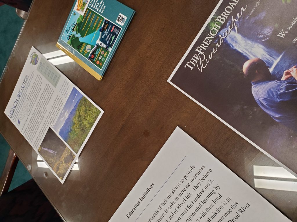
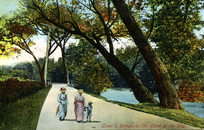
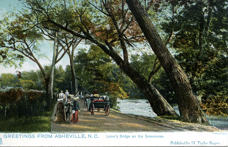
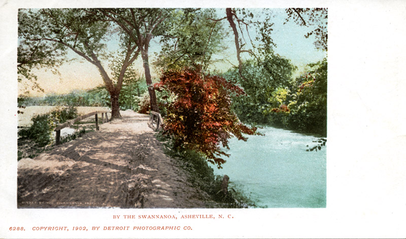
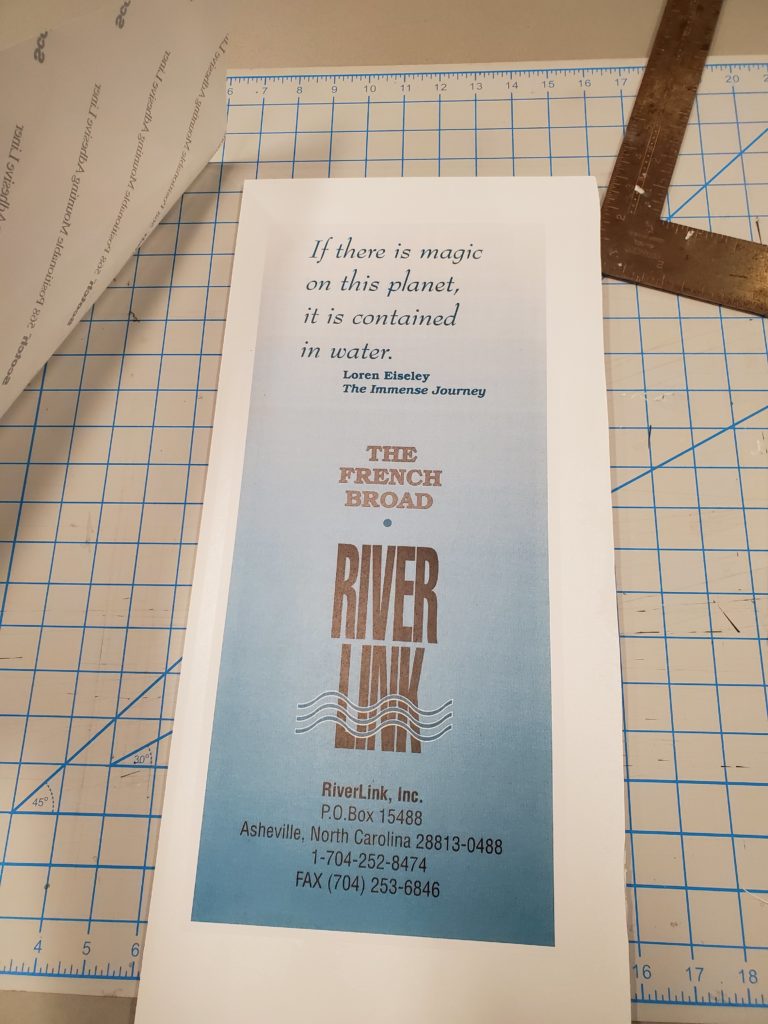
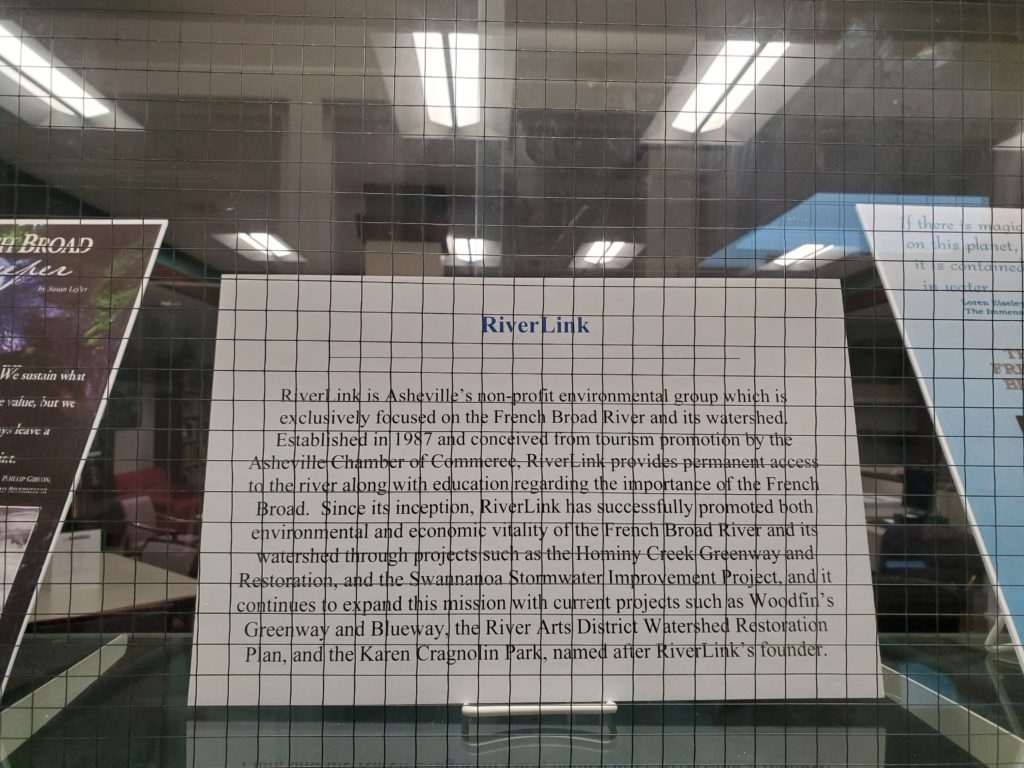
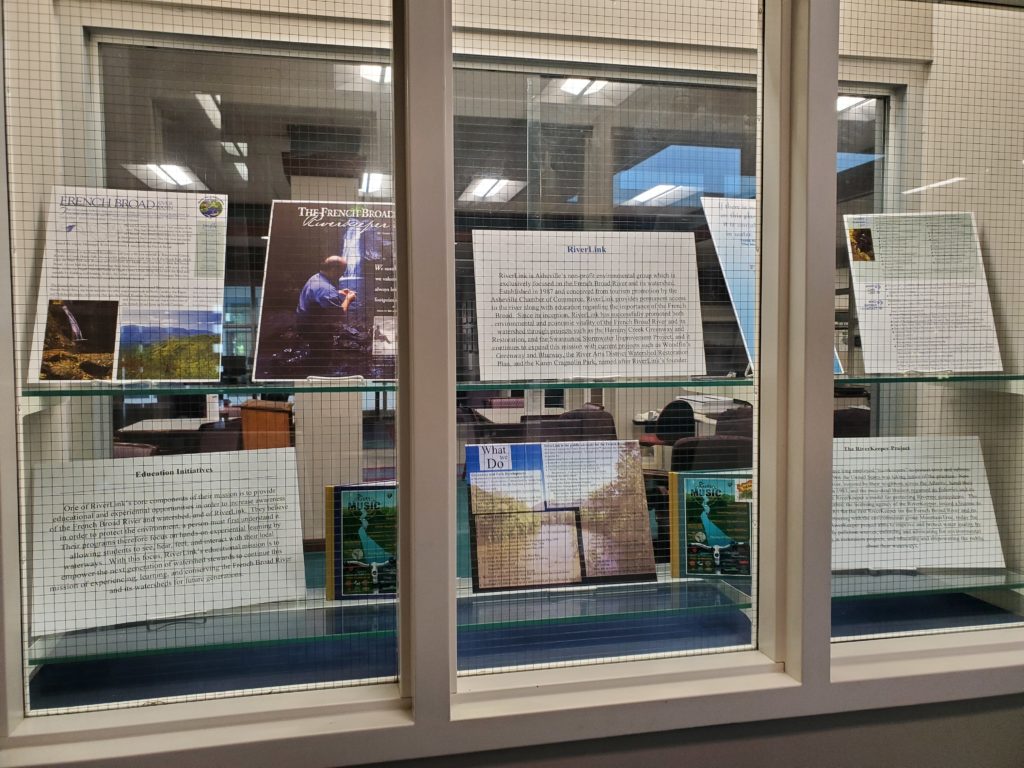
RiverLink is an organization in Asheville that for more than three decades has protected the French Broad River and its watershed. The non-profit environmental group was formed in 1987 by the Asheville Chamber of Commerce and thru the vision of Karen Cragnolin, who remained RiverLink’s director for 30 years. RiverLink’s history, based on the ties the Asheville area has had with the French Broad for thousands of years, is a rich story of community activism.

Tools of the trade- the Archival trade.

RiverLink’s primary goal is to provide permanent access to the river for the public and to educate individuals and groups on the importance of the river and its watershed. Since its inception, RiverLink has successfully promoted the environmental and economic vitality of the river through a variety of initiatives, including community-based projects such as the development of Greenways and Blueways, riverbank restorations, and watershed plans.

The big reveal!

Education of the public remains a core component of RiverLink’s program. The various educational programs they lead, including the French Broad RiverCamp and Voices of the River: Art and Poetry Contests, focus on hands-on learning in order to empower the next generation of youth to protect the French Broad. RiverLink also partners with various other groups in order to create a collaborative of educational opportunities, including groups such as the North Carolina Arboretum, Asheville GreenWorks, and in the past, groups such as the Southern Appalachian Forest Coalition.

RiverLink’s important connection to the French Broad.

Another of RiverLink’s fundamental values is promoting clean water. In order to advance this project, they have adopted the practice of a “riverkeeper.” RiverKeepers were long employed in the British Isles and in the late 1990s, RiverLink added a fifth RiverKeeper to their program, specifically covering the French Broad River. This position was created in order to safeguard the French Broad and to act as a public advocate for clean water throughout the 5,000 mile watershed.

RiverLink Exhibit centerpiece- who is this environmental activist group? Come find out more!

At UNC Asheville’s Special Collections, one of our core drivers is documenting the diverse culture and history of Asheville and Western North Carolina. Some of our strongest collections which help to tell this story are those with ties directly to the land. In recent years, our mission has expanded in order to encompass those collections which are of interest to our undergraduate researchers, scholars, and general users- including those collections with strong environmental ties to our beloved mountain region. RiverLink’s collection is a vibrant example of the history of environmental activism in this area, and we invite you to come take a closer look at both the exhibit and the collection itself!

RiverLink Exhibit on display directly outside of Special Collections. Come and take a closer look!

Sources:

RiverLink Papers, D.H. Ramsey Library, Special Collections, University of North Carolina Asheville, 28804.

In Search of Lovers Bridge

The only postcard to include a  location of Lovers Bridge [kahn 12_35_002. ]

Sometimes you lose yourself in an archival rabbit hole.

This particular adventure started during the processing of the latest tranche of postcards for the Fred Kahn Asheville Postcard Collection. Kahn was an avid collector of postcards, often accumulating numerous copies of the same card, and filing the cards in binders by subjects or theme.

Binder 12 of the collection covers the French Broad and Swannanoa Rivers, and within the Swannanoa images there were numerous views of Lovers Bridge*. But where was Lovers Bridge located?

And so, like Alice, we find a rabbit hole.

A very similar view as the postcard above, but with different people and roadway [kahn 12_34_004]

All the postcards show a similar view; the river to the right of the image, a track/road (sometimes paved, sometimes muddy) in the center foreground and leading to a bridge with timber railings, somewhere near the middle of the image. Beyond the bridge, both river and track curve leftwards.

Any dates indicate the cards are from the early years of the 20th century, when the Swannanoa had trees and bushes along the banks, but no buildings or anything else to suggest exactly where the bridge was.

This postcard was mailed in August 1906, to an address in Saluda, NC, and is described as “a mountain drive” rather than Lovers Bridge [kahn 12_41_003]

What the postcards make clear is that Lovers Bridge was parallel to the Swannanoa, it didn’t cross the river. But it was a bridge, it had to cross something, and if not the Swannanoa, then what?

Of the nearly 30 postcards showing Lovers Bridge, only one [12_35_002], showing two ladies and a small child walking on the track, includes any kind of description on the verso. This reads, “Lover’s Bridge is one of the popular points along the Swannanoa River, and is located about one mile above the Biltmore Bridge. The old wooden bridge has recently been replaced by an iron one.”

An approximate location!

A colorized print of the monochrome photograph used for the previous postcard, but the view is now identified as “Lovers Bridge” [kahn 12_41_002]

To keep a long story short, approximately 8/10ths of a mile (by Google maps) from the present day bridge where Biltmore Avenue crosses the Swannanoa, Ross Creek enters the river. Is it this creek that Lovers Bridge bridged?

Certainly the course of the river seems to fit this supposition, as upstream from Ross Creek, the Swannanoa does bend left, like in the postcards.

This would make the present day location of Lovers Bridge on Swannanoa River Road, near Hajoca plumbing supplies. A big change from the rural track of 120 years ago!

Is this what Lovers Bridge looked like in December 2016, when Google Streetview captured this image?

One obvious way to cross reference the location would be from maps or travel books from the early 1900s, especially since Lovers Bridge was “popular” and featured on so many postcards.

But, despite looking in many nooks and crannies in the archival rabbit hole, not a single reference to Lovers Bridge has yet been found.

Why might this be?

One possible explanation may lay in the postcards. Postcard manufacturers would often “manipulate” a view, so that a daylight scene is transformed into a moonlight view, images are colorized, and people and objects added or removed.

Image manipulation did not begin with Photoshop!

As noted previously, the postcards all show a similar view.Is it possible that an early postcard designer adopted the name “Lovers Bridge” for this particular bridge near the Swannanoa, and the name was continued by subsequent postcard designers, but the name never existed outside the postcard artist fraternity?

Maybe, or maybe not.

This 1902 postcard, with a slightly different perspective from most of the other postcards, does not refer to Lovers Bridge. Had the name not been “invented” then? [kahn 12_36_003]

Despite spending far too much time exploring this particular rabbit hole, few definitive answers have been found so far. If any reader has information about Lovers Bridge, please contact Ramsey Library Special Collections, as we would love to resolve this particular obsession!

Colin Reeve, Special Collections

*The bridge is called both Lovers and Lover’s Bridge on postcards. For consistency “Lovers” has been used in this blog

css.php